Comparison of field and remotely sensed (drone) measurements of soil moisture and temperature trends
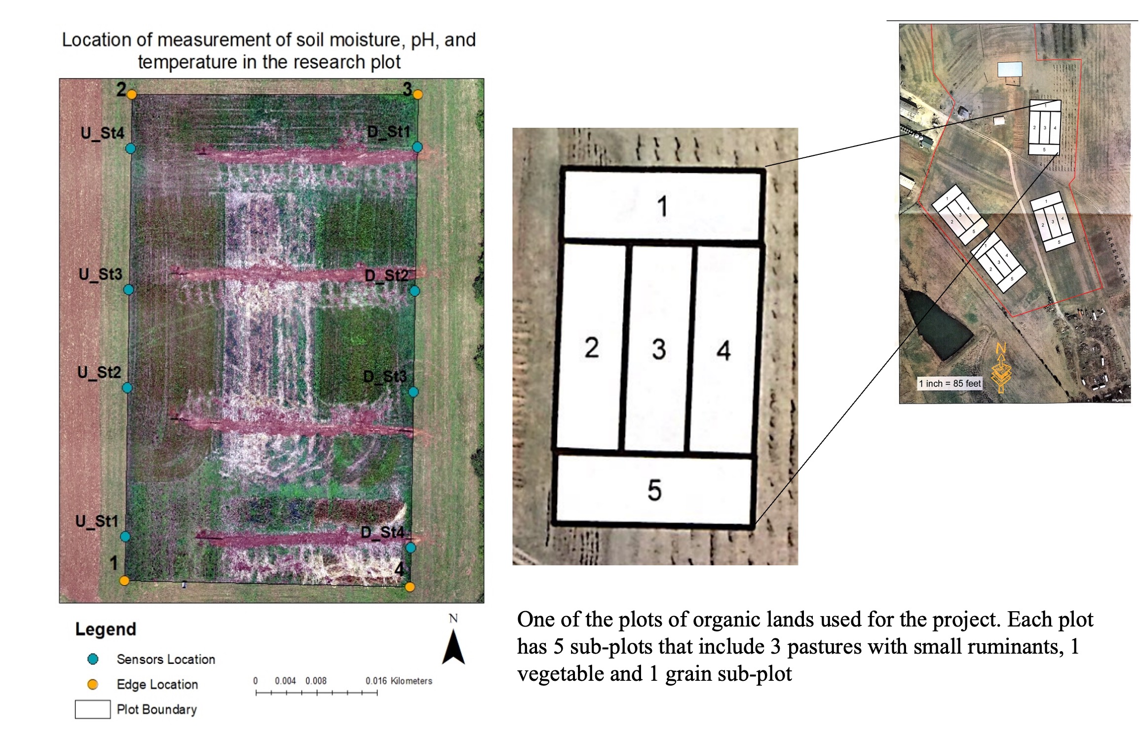
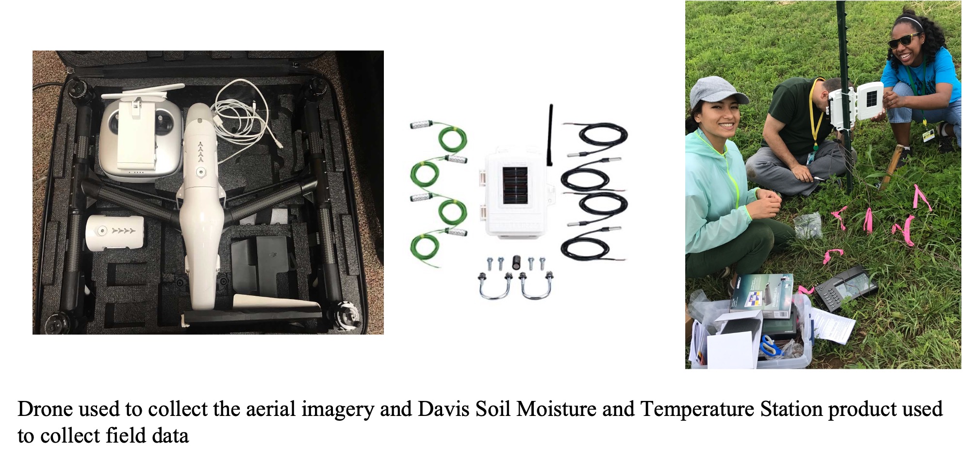
This study was part of the Summer Apprenticeship Program at the Kentucky State University. I mentored two high school students (Dejah Hopkins & Essence Carlisle) and led the project along with Jeremy Sandifer. The goal of the mentorship program was to introduce the mentees about using GIS tools (drones, ArcGIS) in addressing real-world challenges such as agricultural management. The study was conducted in one of the 4 plots of organic lands at the KSY Herold R. Benson Research and Demonstration Farm. Each plot has 5 sub-plots that include 3 pastures with small ruminants, 1 vegetable and 1 grain sub-plot. We collected both field measurements using soil moisture and temperature probes and remotely sensed data using DJI drone to correlate soil moisture and temperature trends and use ESRI platform to generate soil moisture and temperature maps using field and remotely sensed data.